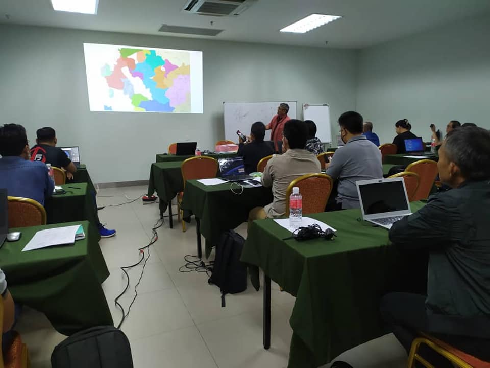
Basics of Geographic Information System (GIS) and GPS
This program is designed to provide Indigenous individuals with the knowledge and skills needed to effectively utilize GIS technology for mapping, analysing, and interpreting spatial data. The course typically combines theoretical and practical instruction, covering topics such as GIS data structures, spatial analysis, and cartography. The training course stresses the importance of theory and practical for both GPS and GIS The use of handphone and computer is necessary by every participant.
This course offers a deep dive into the world of Geographic Information System (GIS) and Global Positioning System (GPS), with a curriculum specifically tailored to the needs and interests of Indigenous people. It provides understanding of GIS data structures, spatial analysis, and cartography, blending theoretical knowledge with practical application.
Participants will be required to use both handphones and computers, ensuring they gain hands-on experience in using these technologies. The course underscores the significance of traditional ecological knowledge and explores how GPS can support Indigenous land management practices, cultural preservation, and resource management.
By the end of the course, participants will be equipped to leverage GIS and GPS technologies effectively in their communities.
Through this training course, participants will learn the following:
- GPS Equipment Operation: Participants can learn how to operate GPS equipment in a manner that is appropriate for surveying native customary land. This may involve adapting techniques to suit the terrain or vegetation of the land, or adjusting methods to align with local customs and practices.
- Basic GIS Concepts: Participants can learn about the basic concepts of GIS technology, including how GIS software is used to manage and analyse spatial data.
- Data Collection and Processing: Participants can learn how to collect, process, and manage spatial data, including data from GPS surveys, satellite imagery, and other sources.
- Spatial Analysis: Participants can learn how to use GIS software to analyze spatial data, including identifying patterns of land use and land cover, and assessing the impacts of land use change on the environment and local communities.
- Community Engagement: Participants can learn how to engage with local communities and stakeholders to involve them in the mapping process and to ensure that the mapping results reflect their needs and priorities.