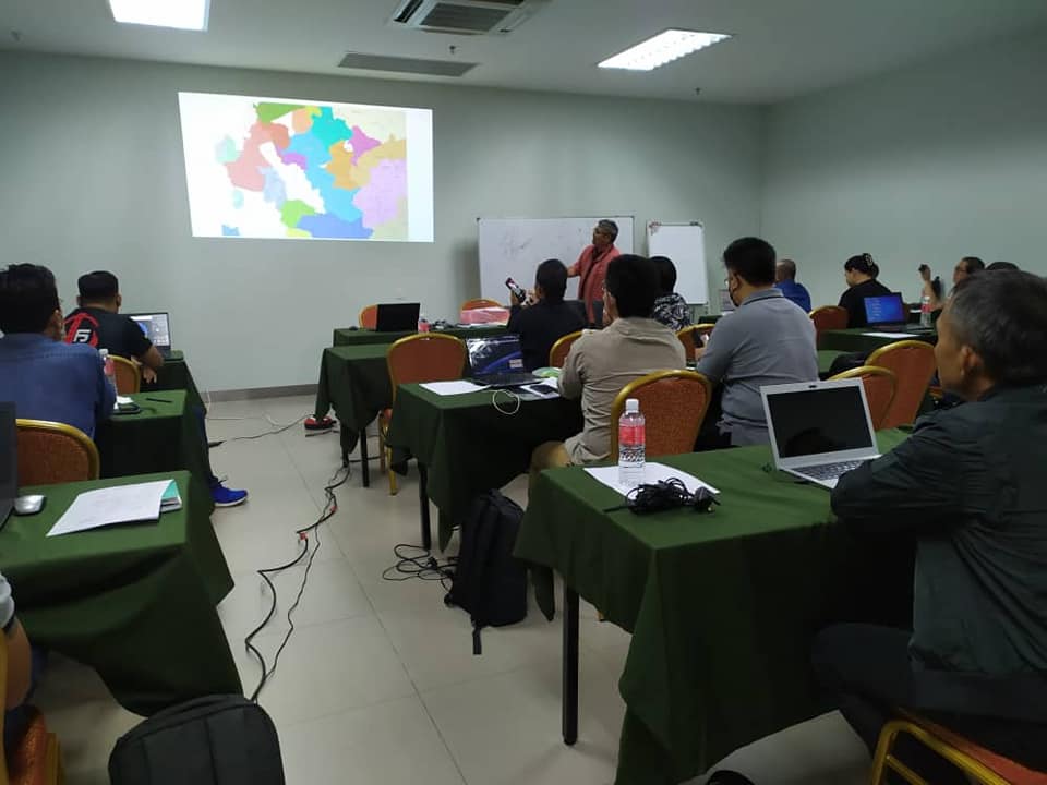
Basics of Geographic Information System (GIS) and GPS
This program is designed to provide Indigenous individuals with the knowledge and skills needed to effectively utilize GIS technology for mapping, analysing, and interpreting spatial data. The course typically combines theoretical and practical instruction, covering topics such as GIS data structures, spatial analysis, and cartography. The training course stresses the importance of theory and practical for both GPS and GIS The use of handphone and computer is necessary by every participant.